Felix Jenkins · 3 October 2026
Investigating Microclimate Variations in Fog-Prone Coastal Woodland Edges
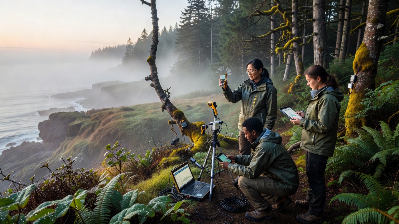
Coastal woodland edges create distinct microclimates shaped by persistent fog that moves inland from marine layers, and researchers track these patterns with arrays of data loggers placed at varying distances from the shoreline. These zones experience rapid shifts in temperature and moisture that differ from both open coast and interior forest conditions, while the fog itself acts as a buffer that limits daytime heating and sustains higher humidity levels overnight. Data collected through 2025 into October 2026 shows consistent gradients where sites within 200 meters of the edge record 2 to 4 degrees Celsius cooler afternoons compared with locations 800 meters inland during fog events.
Fog Formation and Its Reach Into Woodland Margins
Marine fog develops when warm air passes over cooler ocean surfaces, and prevailing winds carry that moisture onto land where it interacts with tree canopies at the woodland perimeter. Observers note that advection fog penetrates farther during periods of weak onshore flow, while radiation fog forms more locally under clear skies after sunset. Studies from multiple coastal monitoring networks indicate that fog frequency peaks in late spring through early autumn, yet October 2026 measurements captured an extended sequence of dense events linked to a persistent high-pressure system offshore. These events reduced solar radiation at ground level by 60 to 80 percent on affected days, altering evaporation rates and soil moisture retention across the edge habitat.
Measurement Approaches Used in Recent Field Campaigns
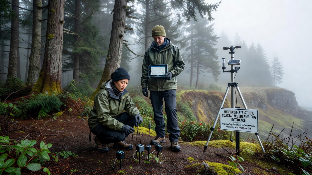
Teams deploy paired sensors at standardized heights of 1.5 meters and 5 meters above ground to capture vertical profiles, and they space instruments along transects oriented perpendicular to the coastline. Continuous logging at five-minute intervals provides resolution for short-lived fog incursions that last only a few hours, while periodic manual checks verify calibration against reference psychrometers. Remote imagery from satellites supplements ground data by mapping fog extent, and researchers cross-reference these layers with wind direction records to distinguish between marine and terrestrial influences. One project running through October 2026 expanded coverage to include leaf wetness sensors that register condensation duration, revealing that edge vegetation experiences surface moisture for three to five additional hours per day compared with interior plots.
Observed Temperature and Humidity Patterns
Analysis of multi-year records shows that daily temperature ranges compress near the woodland edge during foggy periods, with minimum temperatures rising by 1.5 degrees Celsius on average because the fog layer traps outgoing longwave radiation. Maximum temperatures drop correspondingly because incoming shortwave radiation is scattered or absorbed before it reaches the canopy. Humidity stays above 85 percent for longer stretches at the margin, and vapor pressure deficit calculations indicate reduced plant water stress during these intervals. Data from comparable sites in both the Pacific Northwest and southeastern Australia confirm similar buffering effects, although the magnitude varies with local topography and dominant tree species. Those who've examined the full dataset note that wind speed at the edge remains higher than inside the stand, which further moderates heat buildup even when fog lifts.
Vegetation Responses Tied to Microclimate Differences
Plant communities along these edges often include species adapted to frequent moisture deposition, and growth measurements indicate extended photosynthesis windows when fog supplies water directly to foliage. Epiphytes and understory ferns show higher cover percentages within the first 150 meters, while drought-sensitive seedlings establish more successfully where humidity remains elevated. Soil temperature logs reveal slower warming rates near the coast, which delays microbial activity and influences nutrient cycling rates throughout the growing season. Researchers comparing edge and interior plots report that litter decomposition proceeds 15 to 20 percent more slowly at the margin because cooler, damper conditions limit microbial enzyme function. These patterns hold across multiple forest types, yet the strength of the gradient depends on canopy density and the frequency of fog events recorded each season.
Integration With Broader Climate Records
Long-term datasets maintained by national meteorological services allow investigators to place recent measurements in context, and cross-referencing with National Oceanic and Atmospheric Administration archives shows that coastal fog days have fluctuated without a clear directional trend over the past two decades. Parallel records from the Australian Bureau of Meteorology indicate comparable stability in fog frequency along the southeast coast, although interannual variability tied to large-scale circulation patterns remains substantial. October 2026 observations added another season of high-resolution data that researchers now combine with regional climate models to test how changes in sea surface temperature might alter future fog penetration distances. The combined evidence supports continued monitoring rather than immediate conclusions about directional shifts.
Conclusion
Investigations into microclimate variations at fog-prone coastal woodland edges continue to refine understanding of how marine moisture influences temperature, humidity, and ecological processes along these transition zones. Ongoing sensor networks and expanded transects through October 2026 provide the temporal depth needed to separate seasonal signals from longer-term variability, and collaborative datasets from different continents strengthen the reliability of observed gradients. The work demonstrates that edge environments function as distinct climatic niches whose characteristics depend on the interplay of fog frequency, wind patterns, and vegetation structure.